Leonardo
AEROSPACE / SIMULATION / REALTIME DEVELOPMENT
- C#
- Lighting
- Node-based terrain
- PC / VR
 Honolulu area · Realtime environment
Real Earth data, reconstructed as a large-scale realtime environment.
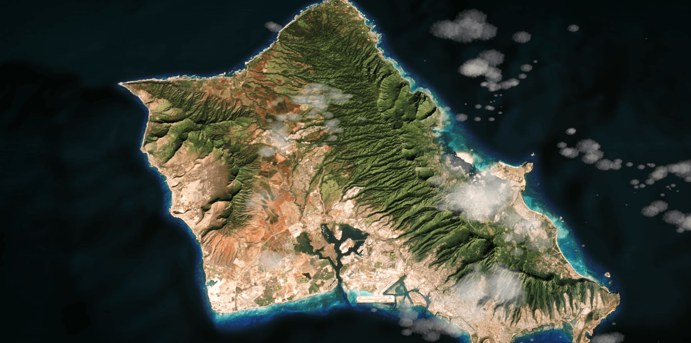
Leonardo is a realtime simulation environment based on real geographic Earth data. The work focused on reconstructing the Honolulu area and its surroundings from terrain and photogrammetric information for PC and VR simulation.
The environment spans the relationship between regional terrain, dense urban data, recognizable geographic detail and a coherent realtime presentation at multiple scales.
- Location
- Honolulu area
- Source
- Geographic data + photogrammetry
- Target
- PC / VR
Geographic data / Honolulu context
A geographic source becomes a simulation-scale realtime world.
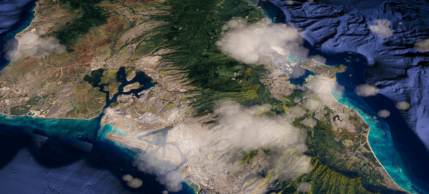
The case study follows the verified production arc without exposing proprietary tools: real geographic information feeds a terrain workflow, is assembled as a realtime environment, and is prepared for PC and VR.
Terrain reconstruction / regional scale
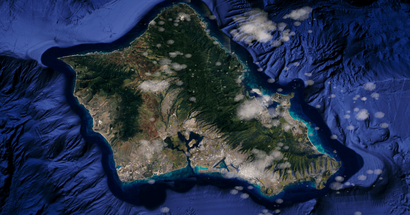
Node-based processing organizes a terrain built for scale.
My contribution included node-based terrain generation: a controllable production step connecting geographic input to the reconstructed realtime terrain. No specific plugin or private pipeline implementation is disclosed.
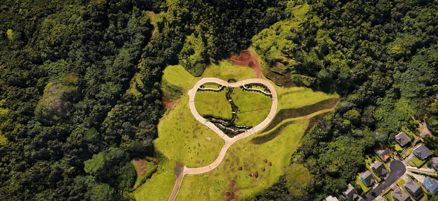
Terrain detail / vegetation and relief
Urban density anchors the environment in a recognizable place.
Photogrammetric and geographic information supplies the visible relationship between coastline, buildings, roads, vegetation and the broader Honolulu terrain.
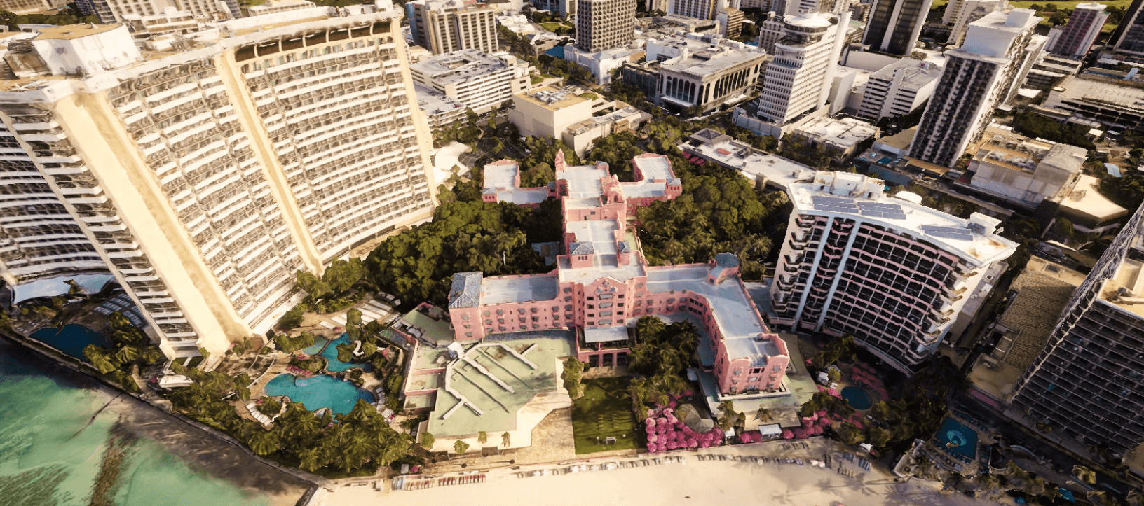
Photogrammetry / Waikiki detail
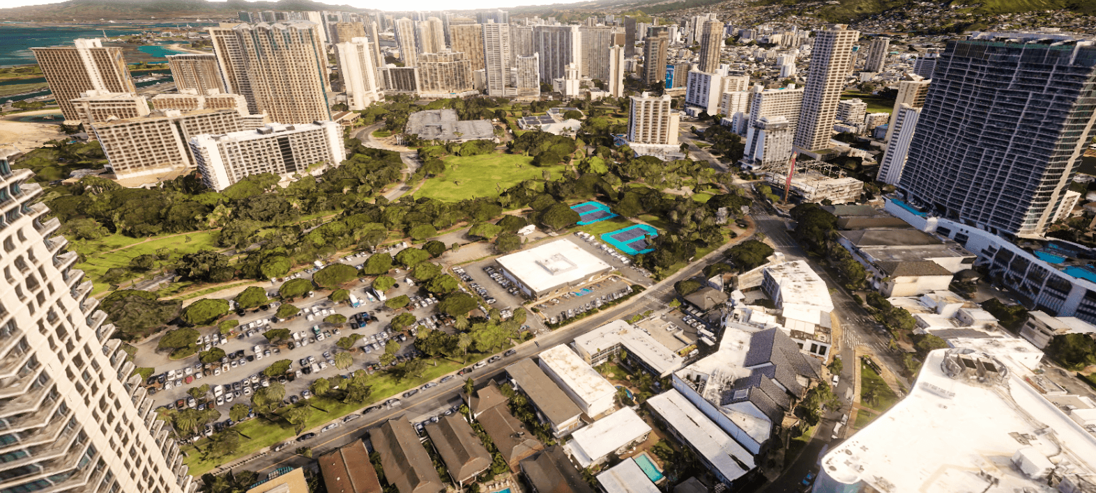
Photogrammetry / urban scale
Continuous geography—from specific landmarks to the horizon.
The environment combines distinct geographic zones into one continuous realtime field. Waterfront, urban, suburban and landmark-scale detail are presented as parts of the same system.
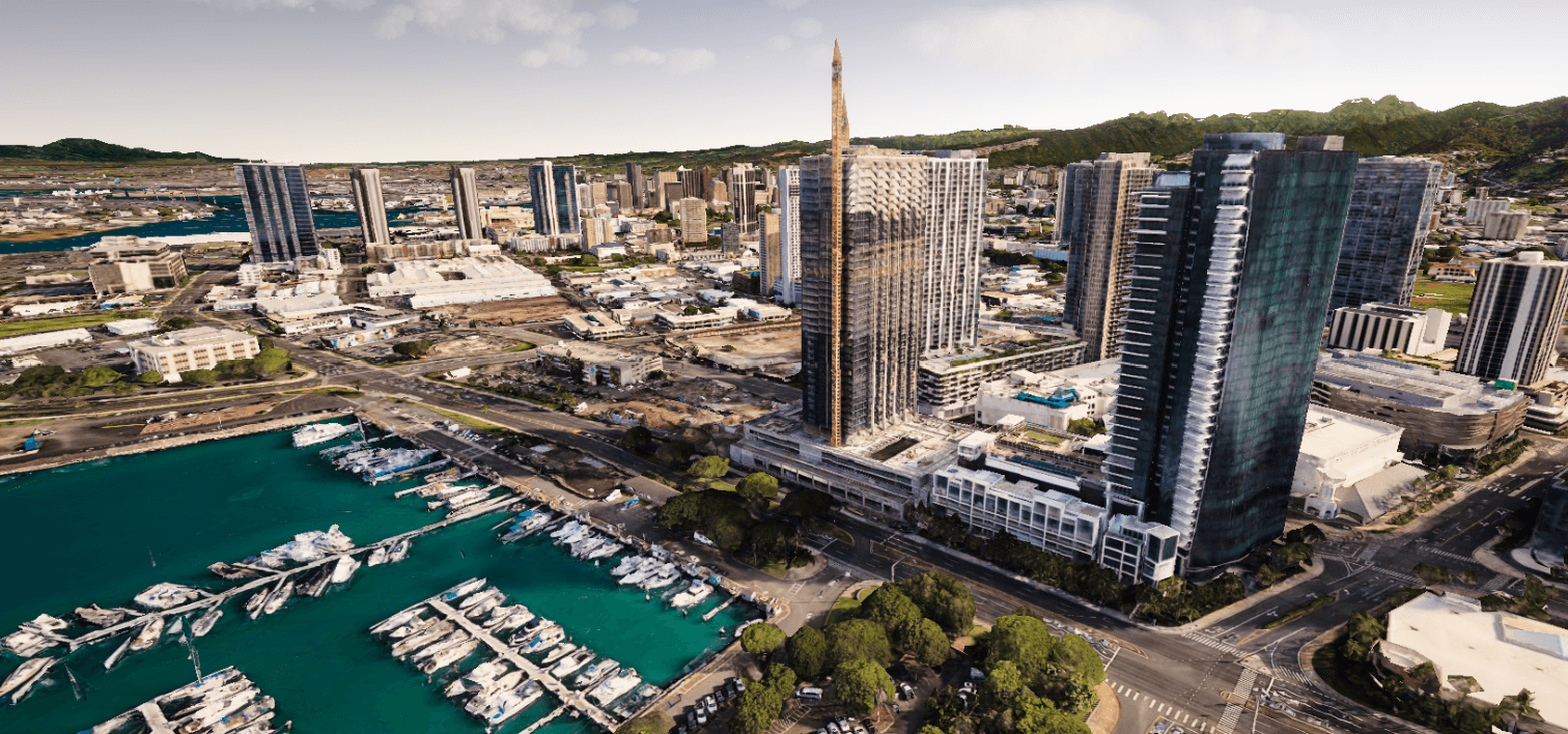
Environment assembly / waterfront
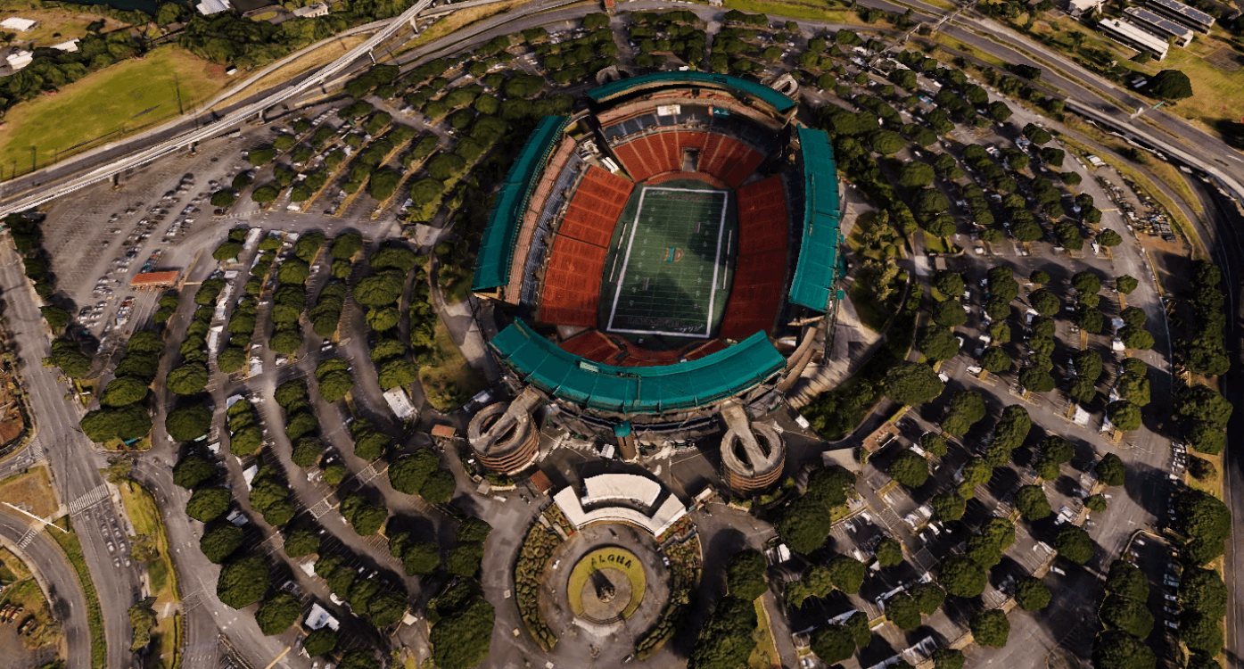
Geographic detail / landmark
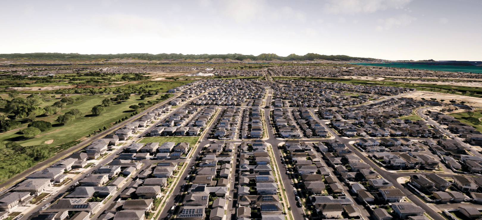
Large-scale assembly / continuous coverage
Light and cloud layers restore depth to geographic scale.
Lighting was part of my verified contribution. Across the reconstructed island, directional light, terrain response and atmospheric layers help separate landform, city and coast.
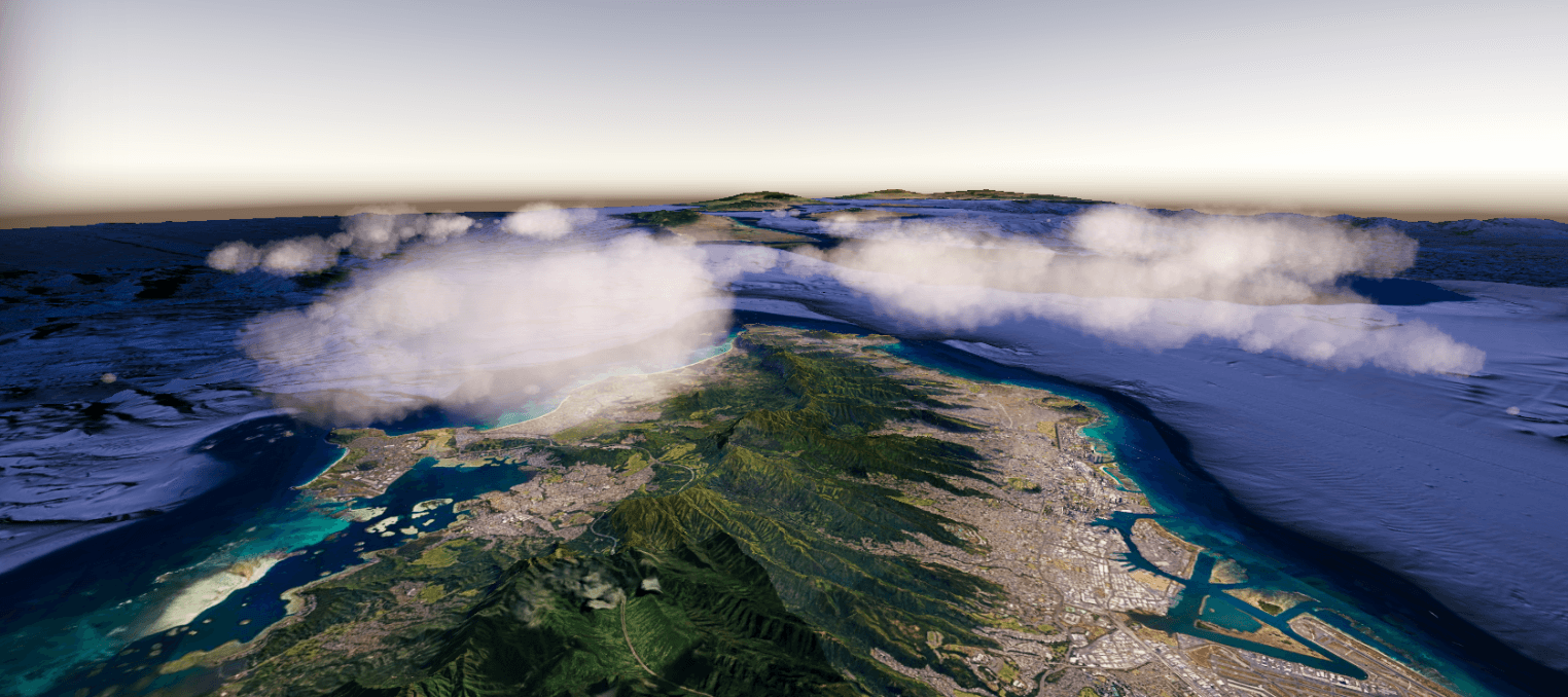
Lighting and atmosphere / cloud layer
The reconstructed world remains readable from ground, airfield and aerial scales.
The supplied media documents the large-scale environment in simulation context. It does not disclose or imply specific vehicle behavior, training mechanics or confidential system functionality.
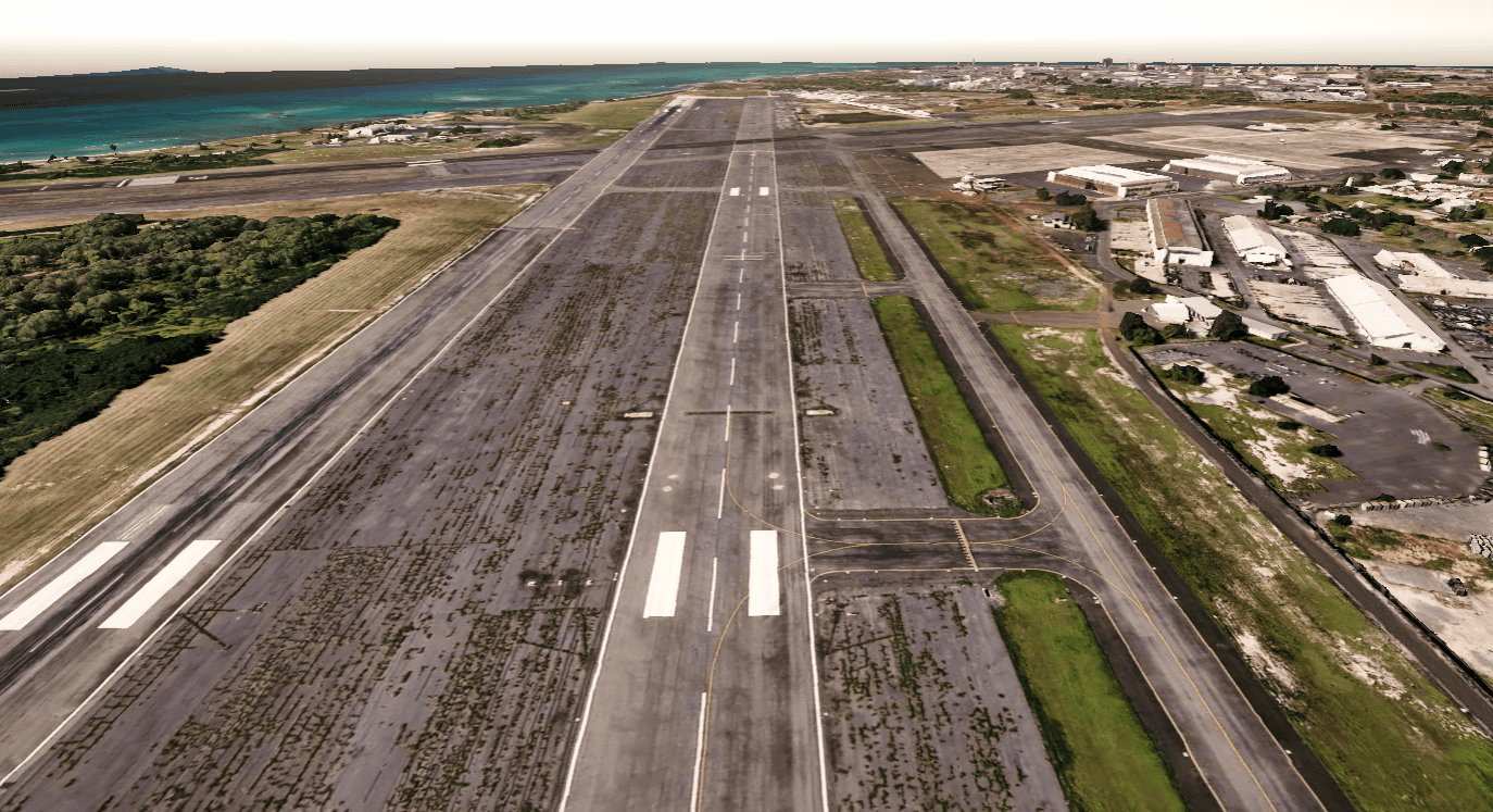
Simulation context / runway axis
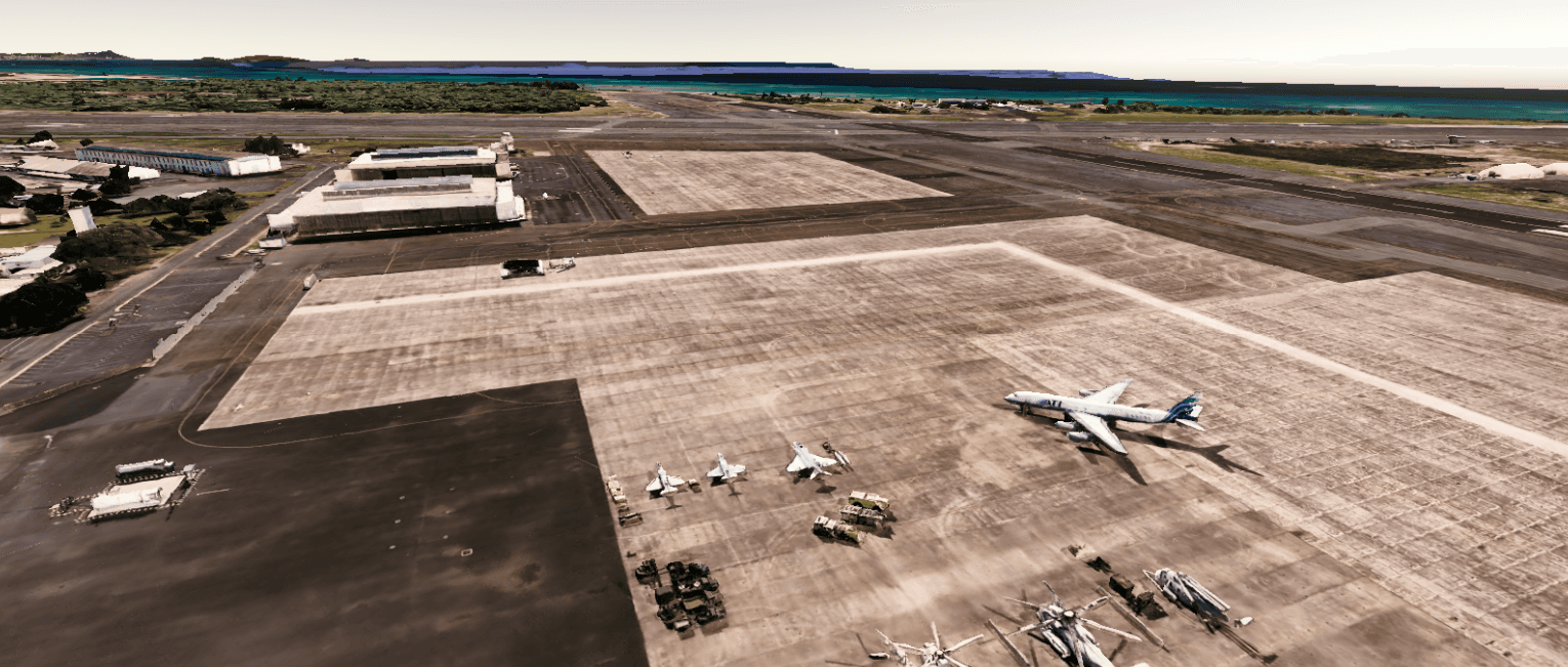
Simulation context / airfield environment
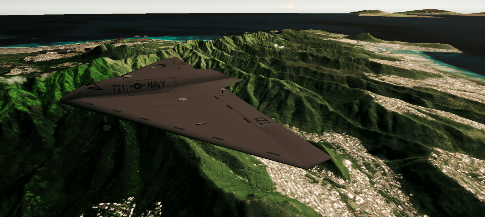
Realtime environment / terrain relief
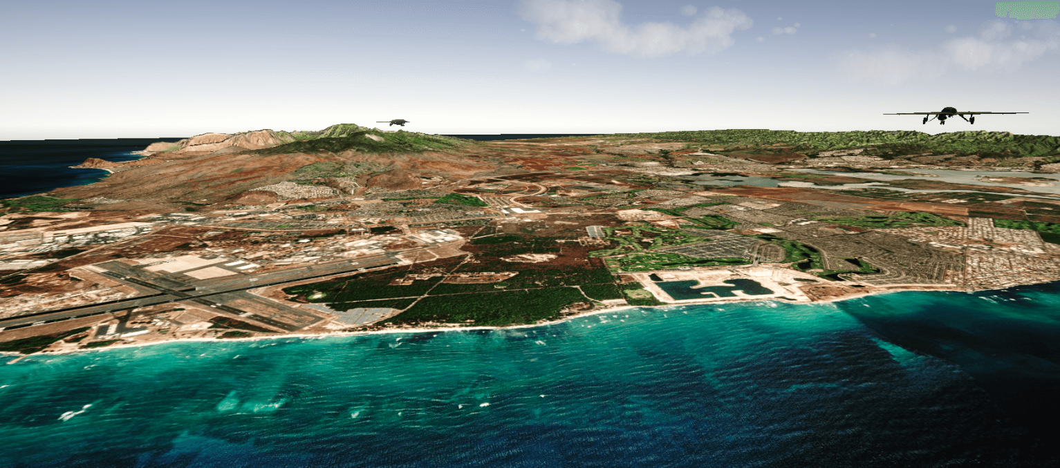
PC and VR context / coastal environment
A focused role across code, terrain and visual presentation.
This public case study stays within the verified contribution scope and documents only the technologies and responsibilities confirmed for the project.
- 01C#
- 02Lighting
- 03Node-based terrain generation
- Realtime environment development
- Large-scale terrain production
- Geographic-data visualization
- PC
- VR
Next project · 01 / 06
Unity × ComfyUI Creative Pipeline↗2026 · AI Creative Technology / Realtime Pipeline